

Where Are the Four Salt River Parcels?
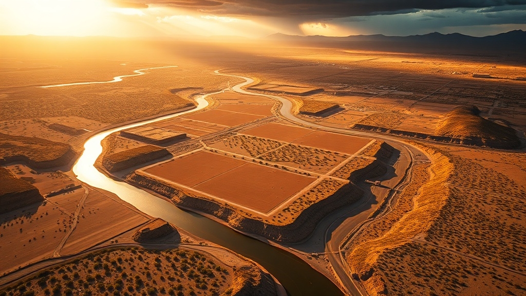
Along an 18-mile stretch of the Lower Salt River near Mesa, the four parcels are tied to the Water Users, Blue Point, Goldfield, and Coon Bluff recreation corridors within the Tonto National Forest. They sit about 40 minutes east of downtown Phoenix. A recreational day pass is required for Lower Salt River access.
These areas are northeast of Mesa in the broader Salt River Project service region. They span parts of Maricopa and Gila counties. Regional planning discussions increasingly reflect water restrictions that are reshaping development and land-use decisions across Arizona.
The corridor follows a key section of Arizona’s largest tributary to the Gila River. It is commonly reached from Bush Highway.
Access and Setting
Water Users serves as the main launch for tubing. Blue Point and Goldfield are major downstream exit areas.
Coon Bluff extends beyond the busiest float route. It is known for quieter river access and better chances of seeing wild horses nearby.
What’s Planned for the Four Parcels?
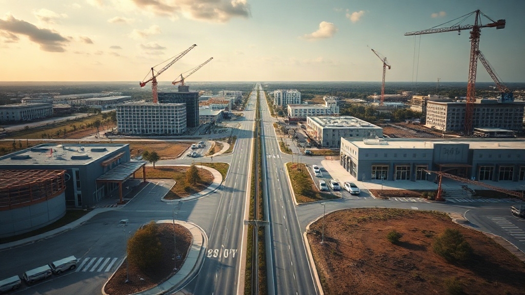
Plans for the four parcels focus on a mixed-use buildout along the Salt River corridor. The vision combines housing, commercial activity, employment space, recreation, and habitat restoration.
One major housing component calls for up to 1,400 homes at 64th Street and Mayo. It is planned as a walkable master-planned community with potential for affordable housing and stronger transit connections.
Commercial and Job Zones Expand
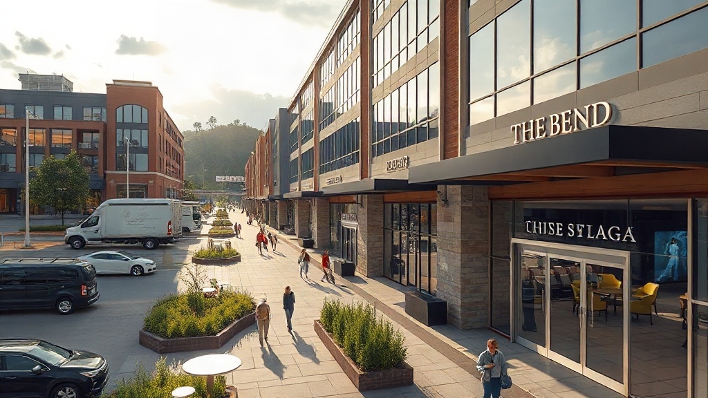
Parcel A is set aside for neighborhood-serving retail, restaurants, services, and possible hospitality uses. Parcel B, along Lower Buckeye Road, is targeted for high-quality employment uses supported by nearby commercial amenities. Similar large-scale projects elsewhere, including Orlando’s $61.26 million construction loan, reflect how mixed-use development is being financed amid broader growth and market concerns.
Additional tribal land near State Routes 101 and 202 is reserved for larger commercial and tourism projects. Those concepts could include a possible gaming venue.
Restoration Remains Central
Recreation, art, floodplain stewardship, and habitat preservation remain central to the broader Rio Salado vision.


How Would New Housing Affect Salt River Water Use?
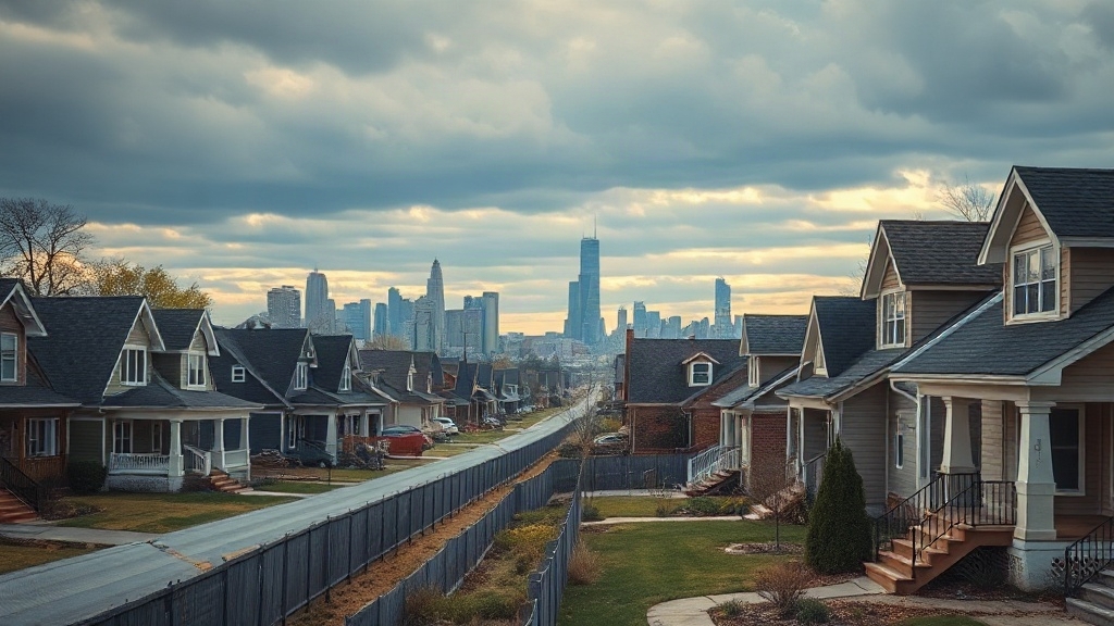
Rising residential density on the four Salt River parcels would increase total water demand. Phoenix estimates about 0.36 acre-feet per Equivalent Dwelling Unit in Off-Project areas.
That estimate comes from historical Water Services Department usage data. It points to higher aggregate demand as housing units rise.
Urban form, site layout, and development intensity would shape how much water is ultimately consumed across the service area.
Climate Exposure and Funding Strain
The added demand would arrive as climate variability increases supply risk in the Salt and Verde watersheds. Because the Salt River Project remains a major source of drinking and irrigation water, uncertain runoff patterns complicate long-term planning for new housing.
Phoenix uses a Water Resources Acquisition Impact Fee to help secure additional supplies and fund related infrastructure. During drought, curtail demand and use avoidance measures could also restrict water availability.
How Could the Parcels Grow Jobs, Tourism, and Recreation?
Beyond water demand, the four Salt River parcels could also become economic engines if redevelopment aligns with utility capacity, corridor planning, and regional investment goals.
Salt River Project already anchors regional utility service, and its Phoenix positions paying $75,000 to $97,500 illustrate the type of workforce development linked to infrastructure-led growth.
Arizona added 6,400 non-farm jobs in December 2025 and posted year-over-year growth above the national rate.
Tourism and Recreation Pressure
RIO PHX seeks to turn the 20-mile Rio Salado corridor into a destination for businesses, residents, and tourists.
That framework could support visitor activity through heritage trails, river access, and recreation-oriented land use.
Renewable partnerships such as Brittlebush Solar Park also strengthen sustainable industrial expansion.
Corridor investment is expected to multiply benefits across tourism, recreation, and regional business activity.
Assessment
Phoenix’s Salt River strategy centers on four pivotal parcels that could reshape land use, housing capacity, and economic activity along a highly visible corridor.
The plan signals pressure on infrastructure, water planning, and public access. It also opens room for new residences, employers, and visitor-oriented development.
Its long-term impact will depend on execution and entitlement decisions. It will also hinge on whether city leaders can balance growth demands with river-adjacent constraints, fiscal realities, and the region’s intensifying land and resource pressures.